- November 04, 2021
- By Rachael Grahame ’17
With help from Amazon founder Jeff Bezos, University of Maryland researchers are developing a satellite-based effort to improve monitoring of humanity’s effect on the Earth—which could one day benefit the actual Amazon, along with other forests and natural areas around the globe.
The World Resources Institute (WRI) awarded the Global Land Analysis and Discovery (GLAD) Lab in the Department of Geographical Sciences a $12.75 million grant paid for by the Bezos Earth Fund to create satellite systems to track Earth’s changing physical landscape and related economic activity and land use from 2000 onward.
The first-of-its kind system will address a major problem in current mapping: disjointed data that leads to unclear results, said Professor Matt Hansen, GLAD Lab director.
“There is no agency tasked with mapping the globe,” he said. “The U.N., because it’s a member organization, has to take all the data from all the member countries and stitch them together, and everybody calls forests something differently, and maps and estimates cropland differently. When you synthesize the data, from a bottom-up perspective, you get very inconsistent and poor information.”
Hansen, Professor Peter Potapov—fellow GLAD Lab leader—and a score of GLAD Lab research faculty, postdocs, analysts, graduate students and student interns aim to solve that issue by late 2025. They’re downloading satellite images and other data from NASA, the United States Geological Survey and the European Space Agency; after reviewing and correcting them and identifying signals for certain land covers and uses, the team will apply algorithms to allow them to more automatically and accurately map the world.
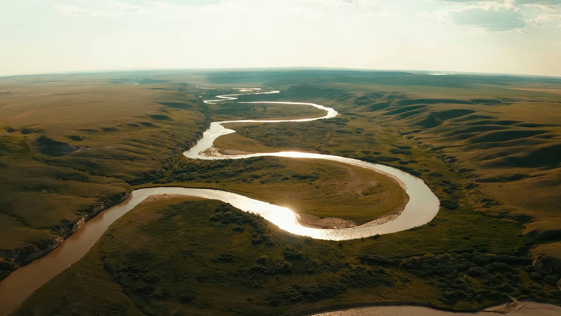
“The nice thing about the satellite is that we are seeing the same signal across the planet, and we can track the same target, such as ‘soybean-cultivated area’ or ‘tropical forest clearing,’ consistently,” Hansen said. “When you do global monitoring like this, you get an internally consistent story and you can compare apples to apples in order to see who is deforesting the most, who is making the most improvement and reducing deforestation, or who is converting the most wetlands.”
Making this tool, known as the “Land & Carbon Lab,” even more powerful will be WRI’s contribution of data on carbon emissions and potential impacts on the areas the GLAD Lab is mapping. Together, both team’s findings can be used to improve land use planning and governance to enable informed decisions about sustainable development—a topic now mired in politics and profit, Hansen said.
“Right now, land change from space looks more like the Wild West. There aren’t many rules being applied or followed, so we need a transparent and planned approach to land management that is both economically and environmentally sustainable,” he said. “It’s a very daunting and difficult challenge to not seek the easiest path forward: clear a forest and make money.”
Topics
Research