
- September 26, 2023
- By Georgia Jiang
Natural disasters around the world kill an estimated 45,000 people every year. The deadliest events, usually earthquakes and tsunamis, can push fatalities to tens or hundreds of thousands. Often, deaths continue for days after the initial disaster because people are trapped by damaged infrastructure or collapsed buildings.
While such disasters themselves are not preventable, some losses in human life may be. A University of Maryland computer scientist and an undergraduate student have designed a drone system that can help firefighters, first responders and other disaster management services locate people who need help during or after a natural disaster. It quickly detects radiofrequency (RF) waves given off by mobile phones and other devices and relays information about those wave sources back to the drone operators.
“Imagine that a building has collapsed, and people are trapped inside. There are piles of debris blacking their way out, but not the radiofrequency waves emitting from their phones,” said Assistant Professor Nirupam Roy. “Being able to track RF waves somehow will also help us find the people carrying the devices emitting them.”
The system he developed with computer science major Neil Sorkin ’24 requires at least two small drones placed in different locations and bearing lines, or the angles between the primary compass directions. Each drone will point in the direction of the RF source from its respective location. The system can calculate the intersection of these two directions—where the RF-emitting device should be.
The idea for this project began in summer 2022 when Sorkin interned at AT&T and worked on a cellular signal-finding robot that helps boost mobile hotspots in remote or rural areas.
“The robot finds the best direction to point an antenna toward in order to maximize signal strength,” he said. “As I was working on it, I realized that there were many other problems that this type of technology could potentially solve.”
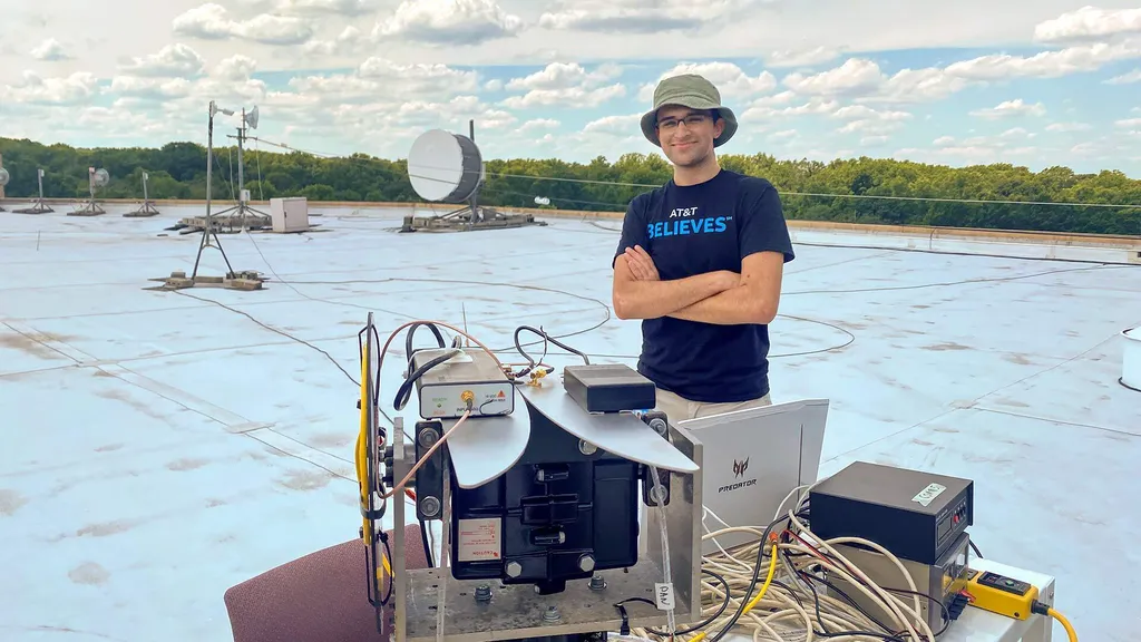
Sorkin (pictured at right) brought his ideas to Roy, whose research lies at the intersection of the technologies needed to build this type of geolocation device: networking, mobility, sensing and localization.
With Roy’s guidance and experience developing SIRIUS (a low-power sensor network capable of communicating directional codes to any received signal), the two sketched out a drone system capable of quickly scanning potentially hazardous environments for cell phone signals.
The solution they eventually arrived at was simple: They stitched together multiple perspectives taken from the deployed drones—dubbed RF Troopers, a reference to “Star Wars” stormtroopers—instead of relying on drones constantly scanning in synchrony to find the direction of a cell signal.
Sorkin and Roy equipped their drones with special directional antennae capable of covering a wide range of RF frequencies, including those that 4G and 5G cell phones operate on. Much as a person can hear a sound in their left or right ear and tell where it came from, drones with these antennae were able to decipher the general direction of signal sources. Through this technique, the system could learn both its own location with reference to the drones and find the location of other signal sources at a much lower energy cost—therefore eliminating the need for a bigger battery, a stronger or larger drone and the associated financial expenses.
“Keeping it scalable means that more of these drones can be produced, purchased and implemented,” Sorkin said. “And that means more people can be located during emergencies.”
Roy and Sorkin have applied for funding from various organizations, including the U.S. Army and the National Science Foundation, to fully produce the drone system and put it into operation. They believe that their project has applications beyond disaster recovery efforts and could, for example, help people in urban areas who may be lost or trapped in an unfamiliar place due to dementia or Alzheimer’s.
Sorkin is already developing similar projects at Redhelm Labs, which he founded at the UMD student startup incubator Startup Shell. He hopes to create products that will solve the drone industry’s problems with efficiency, safety and sustainability.
“My overall goal is to really make a difference in the world with my engineering skills,” Sorkin said.